

TOOLKIT
To facilitate access to coverage and transition MapBiomas data by year, the project toolkit was created. Through this tool, it is possible to export the collection by biome, region, province, district, watershed, protected areas, or indigenous territories boundary that the user is interested in.
Access the tutorial video produced by MapBiomas Amazon to learn how to use the toolkit. The following toolkit is currently available:
GOOGLE EARTH ENGINE
MapBiomas uses technology from the Google Earth Engine. We provide scripts to facilitate access to the MapBiomas collections.
To access and run follow the following instructions:
- With a Gmail account sign up for the Google Earth Engine Platform through this link: https://earthengine.google.com/
- In a few days you will receive authorization to access the platform.
- Once registered in Google Earth Engine insert the link of the script of the toolkit: https://code.earthengine.google.com/?scriptPath=usersmapbiomasuser-toolkitmapbiomas-user-toolkit-lulc.js
- Change the parameters to get the map you want.
We encourage users of the toolkit to send us their suggestions for innovation so that we can constantly improve it.
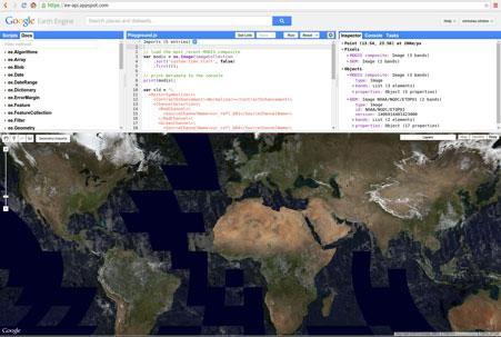
Access to MapBiomas collection on Google Earth Engine
Images and Maps collections are available to be accessed as an asset directly from Google Earth Engine, without the need to download or upload data. Here are the available products and their access IDs in Google Earth Engine:
Coverage and usage maps of Collection 3.0
projects/mapbiomas-public/assets/ecuador/lulc/collection3/mapbiomas_ecuador_collection3_coverage_v3
Glacier maps
projects/mapbiomas-public/assets/ecuador/water/collection3/mapbiomas_ecuador_collection3_glaciers_v1
Maps of bodies of water
projects/mapbiomas-public/assets/ecuador/water/collection3/mapbiomas_ecuador_collection3_water_bodies_v1
Monthly water maps
projects/mapbiomas-public/assets/ecuador/water/collection3/mapbiomas_ecuador_collection3_water_monthly_v1
Water surface maps
projects/mapbiomas-public/assets/ecuador/water/collection3/mapbiomas_ecuador_collection3_water_surface_v1